Navigating Off-Trail Terrain with Compass and Altimeter
Satellite navigators provide convenience, but cold temperatures, battery failure, and dense canopy cover consistently render consumer electronics unreliable. Mastering analog orienteering through mechanical compass and barometric altimetry guarantees self-reliance in remote backcountry.
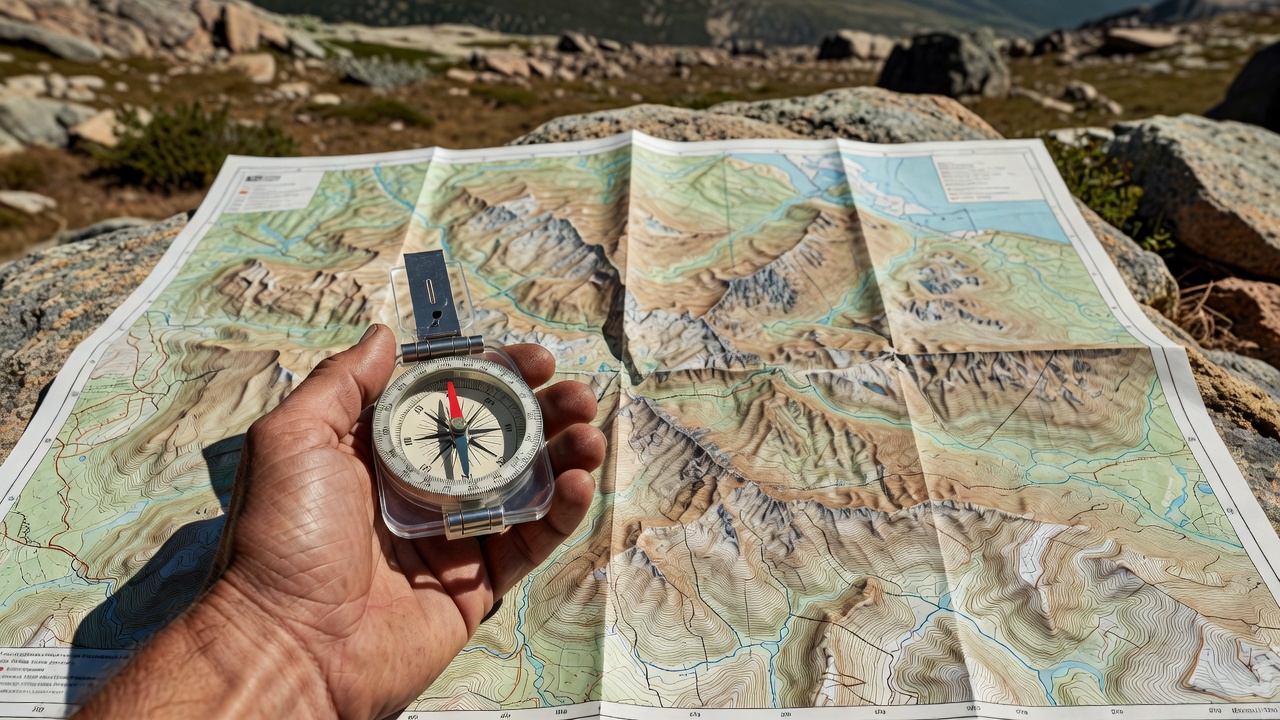
The Altimeter as an East-West Line of Position
Most recreational hikers view a barometric altimeter merely as an elevation counter. In reality, a calibrated altimeter establishes a definite line of position. If you are climbing an unambiguous ridge running roughly north-south, and your altimeter reads exactly 8,400 feet, your location is narrowed down to the single point where that ridge profile intersects the 8,400-foot index contour on your quadrangle map.
✦ BAROMETRIC DRIFT CALIBRATION RULES
Atmospheric high and low pressure systems alter barometric altimeter readouts by up to 300 vertical feet within hours. Calibrate your altimeter at every known landmark: creek junctions, surveyed benchmark summits, and identifiable alpine tarn shorelines.
Aiming Off: Avoiding Critical Decision Traps
When navigating through dense timber toward a specific waypoint—such as a small trail bridge or narrow canyon gap—never attempt to aim dead center at the target. If you reach the river or cliff band and cannot see the target, you will not know whether to hike left or right along the bank.
Instead, practice Aiming Off: deliberately set a bearing 200 yards to the upstream or left side of the landmark. When you intersect the river, you know with absolute certainty that turning downstream (right) leads straight to the bridge crossing.
Pacing & Tally Beads
Calibrating double-pace counts (standard: 64 to 68 double-paces per 100 meters on flat terrain; up to 92 double-paces on steep talus) to track distance traveled in dense fog.
Resection Bearings
Sighting bearings toward two prominent visible peaks separated by at least 60 degrees. Drawing reciprocal back-bearings on your topographic map reveals your exact intersection point.