Mapping High-Route Traverses Across Glaciated Passes
A true high-route ignores standard river valley trail corridors, opting instead for continuous travel above the timberline across interconnected mountain passes, glacial moraines, and high-altitude granite benches.
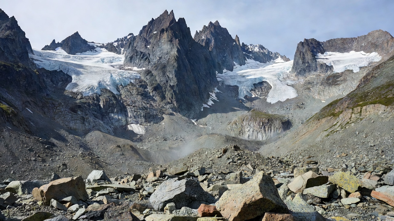
Deconstructing the Pass Anatomy
Crossing glaciated mountain passes requires recognizing that the easiest ascent route rarely mirrors the safest descent line. The windward flank of an alpine notch typically features wind-scoured hard granite benches or loose shale bands, while the leeward flank accumulates deep snowdrifts, unstable cornices, and unstable talus cones.
When approaching an unmaintained col from below, maintain situational awareness of rock fall fall-lines. Never bunch together as an expedition group in narrow couloirs. Trek in a diagonal echelon formation or move from safe protected alcove to alcove one person at a time.
✦ MORAINE CROSSING PROTOCOL
Lateral moraines consist of unsorted, sharp-edged glacial debris balanced at the critical angle of repose. Avoid stepping directly on the knife-edge crest of moraine ridges; traverse 10 to 15 feet below the ridge line on the stabilized outer embankment whenever possible.
Verified High-Route Profiles
| Pass Identifier | Crest Elevation | Class Rating | Crux Hazard |
|---|---|---|---|
| Kewanee Notch | 11,480 ft | Class 2+ | Loose Class 2 chimney with falling gravel exposure |
| Glacier Split Col | 12,120 ft | Class 3 | Steep 42° hard-pack snow ramp requiring ice axe arrest |
| Granite Basin Saddle | 10,240 ft | Class 2 | Car-sized unstable talus blocks along western tarn outlet |
Contingency Bivouac Selection
If sudden squalls or lightning force an emergency halt before cresting, immediately abandon open ridgelines. Seek flat granite shelves below prominent peaks that do not act as runoff conduits during flash rainstorms. Tie down shelter anchor cords to heavy boulders (minimum 40 lbs) rather than relying on standard aluminum stakes in thin rocky soil.